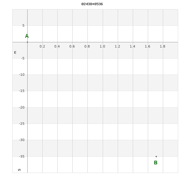
02438+8536 LOC 12
02h 43m 49.00s +85° 36' 06.7" P.A. 183.00 sep 35.0 mag 17.10,17.10
| Coord 2000 |
02438+8536 |
|
Discov num |
LOC 12 |
|
Comp |
|
|
Coord arcsec 2000 |
02 43 49.00 +85 36 06.7 |
|
| Date first |
1998 |
|
Date last |
2016 |
|
Obs |
5 |
|
| Pa first |
183 |
|
Pa last |
182.8 |
|
P.A. Now (θ) |
182.8° |
|
| Sep first |
35.1 |
|
Sep last |
35.034 |
|
Sep. Now (ρ) |
35.034" |
|
| Mag pri |
17.10 |
|
Mag sec |
17.10 |
|
delta mag (ΔM) |
0 |
|
Spectral class |
|
|
| Pri motion ra |
+045 |
|
Sec motion ra |
+045 |
|
| Pri motion dec |
-030 |
|
Sec motion dec |
-031 |
|
| Notes |
T
(Parallax indicates physical) |
|
rPM=0.018 (< 0.3, Physical double)
This double is physical.
OTHER CATALOGS AND DESIGNATIONS
| Constellation |
Cepheus |
|
SAO |
168005 |
|
WDS 02438+8536 LOC 12 : NOTES
No records found.
DISCOVERER
| discov |
author |
| LOC |
Locatelli, G. |
WDS HISTORIC DATA
| coord_2000 |
discov_num |
comp |
epoch |
obs |
pa |
sep |
mag_pri |
mag_sec |
spectr |
dm_number |
notes |
coord_arcsec_2000 |
| 02438+8536 |
LOC 12 |
|
2015 |
2 |
183 |
35.0 |
17.10 |
17.10 |
|
|
T |
024349.00+853606.7 |
| 02438+8536 |
LOC 12 |
|
2016 |
5 |
183 |
35.0 |
17.10 |
17.10 |
|
|
T |
024349.00+853606.7 |
If you need more information about this double, apply for a
data request form to the WDS.
WDS 02438+8536 LOC 12 : VISUAL OBSERVATIONS REPORTS
No records found.
WDS 02438+8536 LOC 12 : MEASURES
No records found.
WDS 02438+8536 : VIRTUAL EYEPIECE
Click on the map to see the double of your interest.
Pass over with the mouse cursor to display the catalog designation.
|
|
WDS 02438+8536 : ALADIN DSS IMAGE @ 02h 43m 49.00s +85° 36' 06.7"
WDS 02438+8536 LOC 12 : NEIGHBORHOODS
|
|
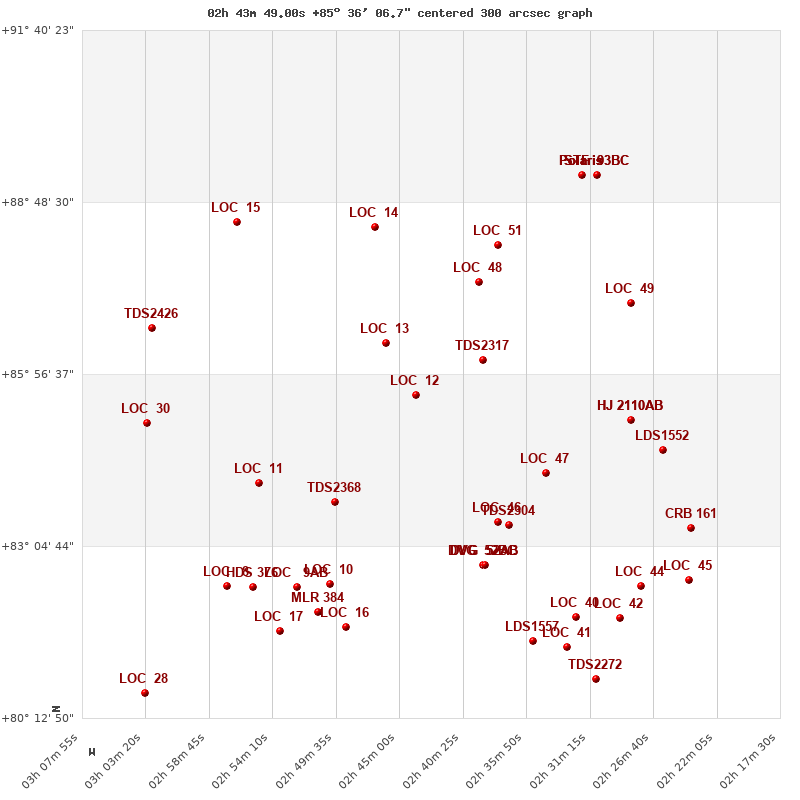
Click on the map to see the double of your interest.
Pass over with the mouse cursor to display the catalog designation.
|
| Show |
name |
coord_2000 |
discov# |
comp |
pa |
sep |
dist(') |
| Show |
|
02438+8536 |
LOC 12 |
|
183 |
35.0 |
0 |
| Show |
|
02282+8511 |
HJ 2110 |
AB |
324 |
5.1 |
32 |
| Show |
|
02282+8511 |
HJ 2110 |
AC |
315 |
41.2 |
32 |
| Show |
|
02390+8611 |
TDS2317 |
|
190 |
0.6 |
36 |
| Show |
|
03032+8508 |
LOC 30 |
|
127 |
1.9 |
37 |
| Show |
|
02460+8628 |
LOC 13 |
|
180 |
4.7 |
52 |
| Show |
|
02260+8441 |
LDS1552 |
|
146 |
3.7 |
60 |
| Show |
|
03028+8643 |
TDS2426 |
|
228 |
0.9 |
70 |
| Show |
|
02344+8418 |
LOC 47 |
|
200 |
8.2 |
80 |
| Show |
|
02552+8408 |
LOC 11 |
|
243 |
53.1 |
90 |
| Show |
|
02283+8708 |
LOC 49 |
|
65 |
3.8 |
93 |
| Show |
|
02497+8349 |
TDS2368 |
|
22 |
0.8 |
108 |
| Show |
|
02393+8728 |
LOC 48 |
|
224 |
5.8 |
113 |
| Show |
|
02379+8329 |
LOC 46 |
|
236 |
49.8 |
128 |
| Show |
|
02371+8326 |
TDS2304 |
|
327 |
0.7 |
131 |
| Show |
|
02239+8323 |
CRB 161 |
|
170 |
25.9 |
137 |
| Show |
|
02379+8806 |
LOC 51 |
|
296 |
3.4 |
150 |
| Show |
|
02468+8824 |
LOC 14 |
|
194 |
6.2 |
168 |
| Show |
|
02389+8246 |
DVG 52 |
BC |
39 |
18.3 |
171 |
| Show |
|
02389+8246 |
DVG 52 |
AB |
246 |
9.6 |
171 |
| Show |
|
02389+8246 |
DVG 52 |
AC |
14 |
10.7 |
171 |
| Show |
|
02567+8829 |
LOC 15 |
|
232 |
4.3 |
174 |
| Show |
|
02241+8230 |
LOC 45 |
|
41 |
2.9 |
188 |
| Show |
|
02500+8227 |
LOC 10 |
|
241 |
2.2 |
190 |
| Show |
|
02574+8225 |
LOC 8 |
|
310 |
2.9 |
192 |
| Show |
|
02524+8224 |
LOC 9 |
AB |
91 |
51.6 |
193 |
| Show |
|
02276+8225 |
LOC 44 |
|
322 |
1.5 |
193 |
| Show |
|
02556+8224 |
HDS 376 |
|
37 |
0.1 |
193 |
| Show |
|
02509+8159 |
MLR 384 |
|
291 |
0.5 |
218 |
| Show |
|
02318+8916 |
STF 93 |
BC |
83 |
53.1 |
220 |
| Show |
|
02318+8916 |
STF 93 |
BD |
179 |
69.3 |
220 |
| Show |
Polaris |
02318+8916 |
WRH 39 |
Aa,Ab |
293 |
0.1 |
220 |
| Show |
Polaris |
02318+8916 |
STF 93 |
AB |
236 |
18.4 |
220 |
| Show |
Polaris |
02318+8916 |
STF 93 |
AC |
103 |
39.0 |
220 |
| Show |
Polaris |
02318+8916 |
STF 93 |
AD |
194 |
83.2 |
220 |
| Show |
|
02322+8153 |
LOC 40 |
|
298 |
3.8 |
224 |
| Show |
|
02291+8152 |
LOC 42 |
|
249 |
1.8 |
226 |
| Show |
|
02488+8144 |
LOC 16 |
|
128 |
12.1 |
233 |
| Show |
|
02536+8140 |
LOC 17 |
|
150 |
6.9 |
237 |
| Show |
|
02361+8131 |
LDS1557 |
|
307 |
40.2 |
247 |
| Show |
|
02329+8124 |
LOC 41 |
|
314 |
2.2 |
253 |
| Show |
|
02308+8052 |
TDS2272 |
|
213 |
0.6 |
286 |
| Show |
|
03034+8038 |
LOC 28 |
|
354 |
2.2 |
300 |
|
|
WDS 02438+8536 : COMPONENTS
02438+8536 A
| Coord arcsec 2000 |
024349.00+853606.7 |
|
Mag |
17.1 |
|
PmRA |
45.00 |
|
PmDE |
-30.0 |
|
| SAO |
168005 |
|
| SAO |
168005 |
|
DelFlag |
|
|
RA1950 |
|
|
PmRA1950 |
0.0055 |
|
| DE1950 |
|
|
PmDE1950 |
0.005 |
|
Vmag |
7.6 |
|
SpType |
G5 |
|
| Double code |
|
|
Source |
70 |
|
CatNum |
3297 |
|
DM |
CD-28 875 |
|
| DMcomp |
|
|
BDsup |
|
|
HD |
17082 |
|
M HD |
0 |
|
| GC |
3297 |
|
RA1950rad |
0.70502059 |
|
DE1950rad |
-0.4906289 |
|
PmRA2000 |
0.0057 |
|
| PmDE2000 |
0.001 |
|
02438+8536 B
| Coord arcsec 2000 |
024347.51+853531.7 |
|
Mag |
17.1 |
|
PmRA |
45.00 |
|
PmDE |
-31.0 |
|
| Coordinate calculated |
yes |
|